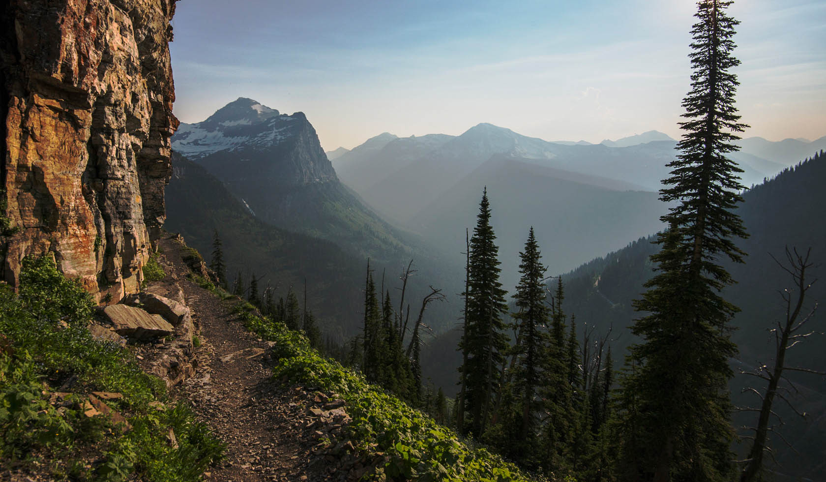
McGuire Mountain Trail
CROSS-COUNTRY SKI TRAIL, NATIONAL FOREST TRAIL
|
Eureka
McGuire Mountain Trail is an easy hike with very few steep pitches. It follows McGuire Creek for the entire length and is close to the creek the last 2 miles. Trail length depends on snow plowing of access road. Limited parking.
Length: 5.6 to 15.1 km of more difficult trail
Trail Begins: 0.3 mile up McGuire Creek off Highway 37
Trail Ends: Upper fork of McGuire Creek
Area Map: Kootenai National Forest Visitors Map
USGS Map1: Inch Mountain
USGS Map2: McGuire Mountain
Township 34N; Range 28W; Section 22
Click here if you own or manage this listing.

- CROSS-COUNTRY SKIING
- HIKING
- NATURE AREA
- PICNICKING
- SIGHTSEEING
- WILDLIFE VIEWING
- TRAIL
- From Eureka, south 24 miles on Highway 37 to Junction with McGuire Creek Road 14099. Turn east and proceed .3 mile to the trailhead. From Libby, north 41 miles on Highway 37.1