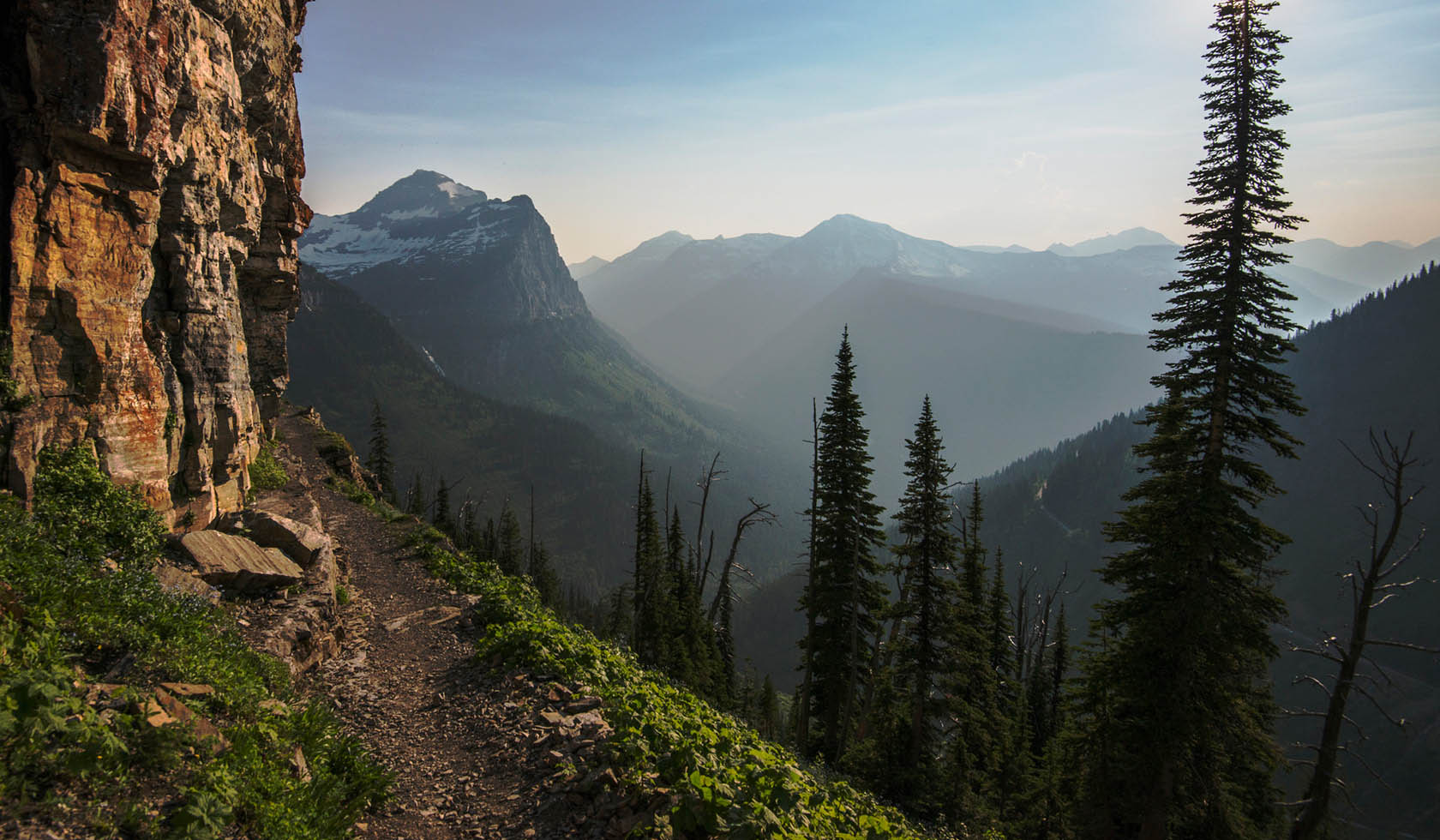
South Fork Teton Trail
NATIONAL FOREST TRAIL
|
Choteau
Length: 11.0 miles
Trail Begins: Forest Road 109
Trail Ends: Trail Junction 128
The South Fork Teton Trail (168) traverses a west-facing slope high above the South Fork of the Teton. The pass, at an elevation of 7,580 feet forms the headwaters of the South Fork. The view west to the high ridges of the Rockies and northwest to Old Baldy Peak is spectacular.
Area Map: Lewis and Clark (Rocky Mountain Division)
USGS Map1: Our Lake
Township 24N; Range 9W; Section 9
Click here if you own or manage this listing.
- BIRD WATCHING
- HIKING
- HORSEBACK RIDING
- NATURE AREA
- PICNICKING
- SIGHTSEEING
- WALKING
- WILDLIFE VIEWING
- TRAIL
- Take Highway 89 north from Choteau 5 miles turning west on Teton River Road 144. Follow for 18 miles before turning south to the South Fork Teton Road 109. Ten miles up the South Fork Teton Road is the trailhead. Park well of the road.1