Montana’s topography includes rugged mountains in the west, extensive lakes and rivers, vast plains in the east and central regions, and eroded, fossil-rich Badlands primarily in the east.
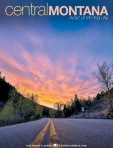
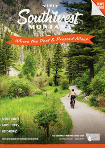
Montana is home to several mountain ranges, especially in the western part of the state. The Rocky Mountains dominate this region, including ranges like the Bitterroots and the Beartooths. These areas feature rugged terrain, high elevations, deep valleys, and are known for outdoor recreation and scenic beauty.
Mountains
The eastern and central parts of Montana are covered by expansive plains and prairies. These gently rolling grasslands are part of the Great Plains and are used primarily for farming and cattle ranching. The region has fewer trees and a drier climate compared to the west.
Plains
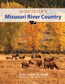
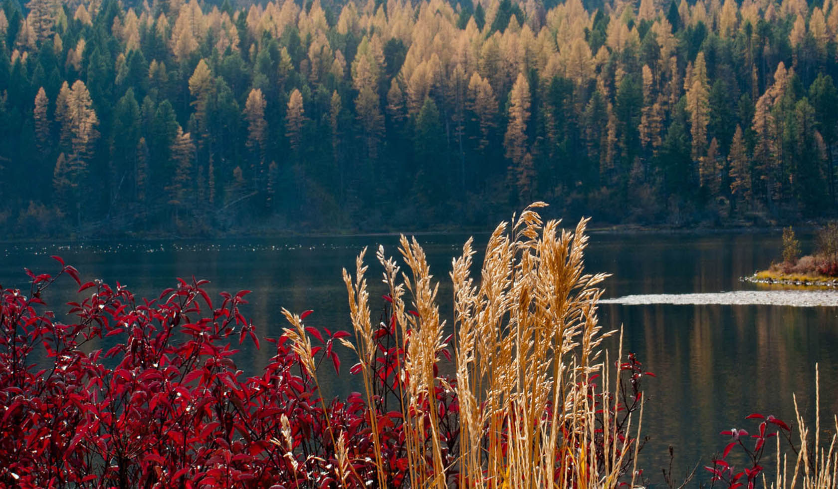
Montana has a rich network of freshwater systems. Major rivers include the Missouri, Yellowstone, and Clark Fork, which support agriculture, wildlife, and recreation. Notable lakes like Flathead Lake, one of the largest natural freshwater lakes west of the Mississippi, provide important ecological and economic resources.
Lakes & Rivers
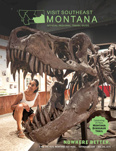
Found mostly in eastern Montana, the Badlands are eroded, dry landscapes with striking rock formations, layered sediment, and steep slopes. They are rich in fossil deposits and offer a stark contrast to the state's greener, mountainous areas.