National Forest Cabin
Yellow Mule Cabin
About
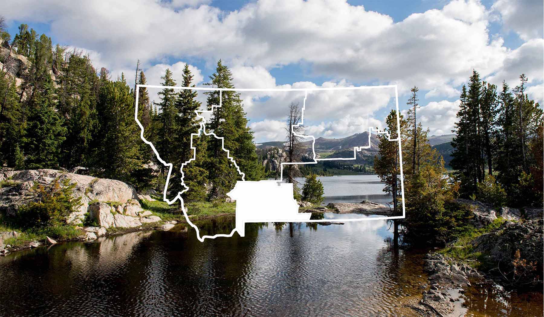
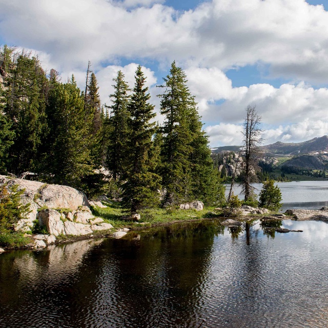
Yellow Mule cabin is located in the remote mountain backcountry of the Madison Range of south-central Montana. It is open year round and is rented in the winter by people snowmobiling up the Buck Ridge Trail. Nearby McAttee Basin provides opportunities for snowmobilers and backcountry skiers. Yellow Mule Cabin was built in 1920 and is rustic with no electricity or running water. The Forest Service does not supply firewood. Summer distance to the cabin is 8 miles. Winter distance to the cabin is 14 miles.
There is a flat top woodstove. Basic cooking supplies are provided. Price is $20 per night and the cabin can be reserved from 1 to 5 nights. Reservations can be made up to 6 months in advance at www.recreation.gov. Capacity is 2-3 people. Last minute reservations (up to 3 nights in advance) are available by calling or going to the Bozeman Ranger Station (406) 522-2520.
Contact
MAILING ADDRESS
3710 Fallon Street, Suite C
Bozeman, MT 59718
Bozeman, MT 59718
CONTACT
406-522-2520
FAX
406-522-2528
Details
SEASON
All Year
PAYMENT METHODS
Cash, Personal Check (In State), Personal Check (Out Of State)
RESERVATIONS
Reservations Required
SPECIAL DIRECTIONS
From Bozeman, head west on Main Street for approximately six miles until you reach Four Corners. Turn left at the stop light and head south on Highway 191. Continue five miles past Big Sky to Doe Creek Road --during the winter months, park just beyond the cattle guard; during summer you can proceed another four miles to the trailhead. From the trailhead, the cabin is another 9.5 miles. (Winter travelers will have a 13.5 mile trip.)
ABOUT THE TRAIL: In winter, follow the groomed snowmobile trail up to the ridge, then follow the ridge to the Yellow Mule Cabin sign. In the summer months, from the trailhead, follow the trail markers up the ridge and to the cabin sign (follow ATV track to cabin). The cabin sits about 300 yards down a draw and is NOT easily visible from the ridge. This is a long, but gentle trip until you reach the top of the draw above the cabin. (IF IT IS STORMING and you are not familiar with the terrain, please do not try to go to the cabin. The trip can be difficult in a storm even if you know the route.) GPS coordinates: Map datum NAD27 0467346E 5003348N or map datum NAD83 0467270E 5003565N or Lat/Long 45°11'06"N, 111°24'5739"W. Elevation 9,275 ft. * The Doe Creek Road is rough and may not be suitable for some low clearance vehicles.
SERVICES
ACTIVITIES
Bird Watching
Hiking
Walking
Wildlife Viewing
See what's nearby
Filter:
Show All
Where To Stay
Things To Do
Food And Drink
Grid View
List View

29th Annual Madison Valley Arts Festival
Event
Ennis, MT

320 Guest Ranch
Guest Ranch
Gallatin Gateway, MT

A Stay on Madison River
Vacation Home
Ennis, MT

Adventures Outfitting LLC
Outfitter/Guide
Ennis, MT

Alder Gulch
Ghost Town
Virginia City

Alder Gulch Short Line
Rail Tour
Virginia City, MT

Alpenglow
Bar
Big Sky, MT

Alpenglow Condo 33A
Condominium
Big Sky, MT
Alpine Property Management
Vacation Home
Big Sky, MT
