National Forest Trail
Lake Columbine Trail
About
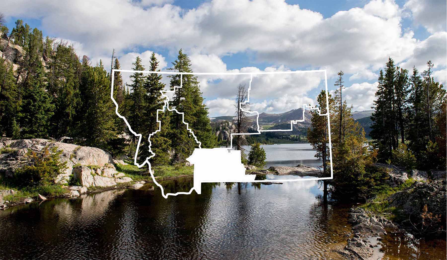
Lake Columbine Trail (128) travels from the junction of Rainbow Creek Trail 28 to Columbine Pass and the Custer National Forest. Above the lake the trail ascends high, semi-open benches, affording pleasant vistas. The trail is occasionally steep and rocky. Length: 3.0 miles. Wilderness area, moderate difficulty, heavy use in summer. Trail Begins: Trail 28 Trail Ends: Forest Boundary Area Map: Gallatin National Forest Visitor Map USGS Map1: Haystack Peak Township 7S; Range 13E; Section 7
Contact
MAILING ADDRESS
5242 Highway 89 South
Livingston, MT 59047
Livingston, MT 59047
CONTACT
406-222-1892
FAX
406-932-5777
Details
SEASON
Access may be limited in spring, fall and winter due to snow.
SPECIAL DIRECTIONS
Lake Columbine Trail is located 25 miles south of Big Timber on Highway 298, then 23 miles south on County Road 212. Connects to Rainbow Creek trail.
SERVICES
Trail
ACTIVITIES
Antelope Hunting
Backcountry Camping
Bear Hunting
Big Game
Bird Hunting
Bird Watching
Bow Hunting
Camping
Deer Hunting
Elk Hunting
Hiking
Nature Area
Outdoor Activity
Photography
Picnicking
Sightseeing
Tent Camping
Walking
Wildlife Viewing


