National Forest Trail
Lodgepole Trail
About
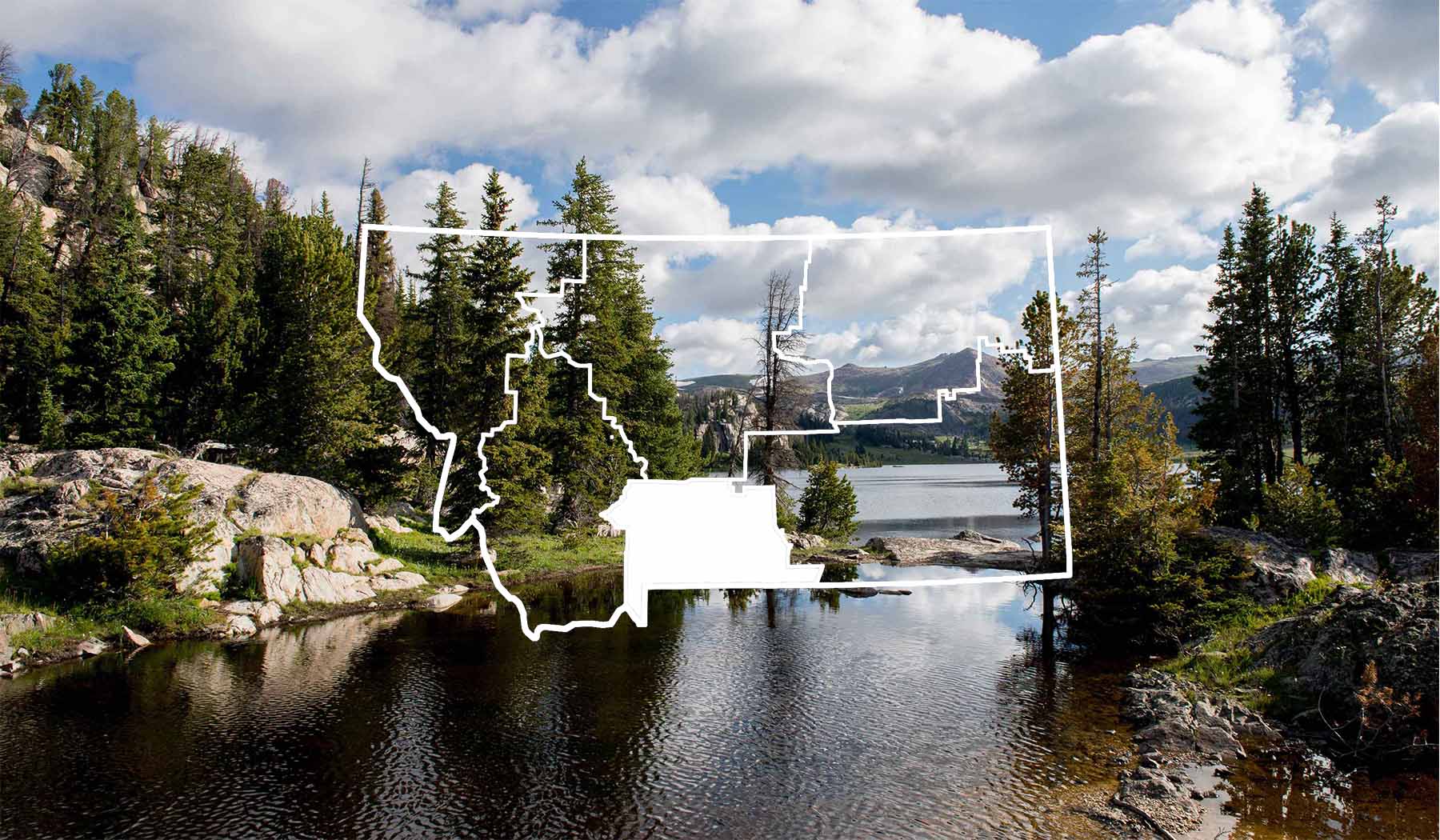
Lodgepole Trail (124) begins at the end of Elk Creek Road 2606 and travels to Meyer Creek Divide and the Custer National Forest. It provides access to most trails in the Deer Creeks, including West Fork Upper Deer Creek Trail 108, Middle Fork Upper Deer Creek Trail 112, Lower Deer Creek Trail 5, and Boone Peak Driveway Trail 2. Length: 8.0 miles. Moderate difficulty, medium use. Trail Begins: Elk Creek Road 2606 Trail Ends: Forest Service Boundary Area Map: Gallatin National Forest Visitor Map USGS Map1: Squaw Peak USGS Map2: Slide Rock Mountain Township 3S; Range 13E; Section 25
Contact
MAILING ADDRESS
5242 Highway 89 South
Livingston, MT 59047
Livingston, MT 59047
CONTACT
406-222-1892
FAX
406-932-5777
Details
SEASON
Access may be limited in spring, fall and winter due to snow.
SPECIAL DIRECTIONS
Lodgepole Trail is located 19 miles south of Big Timber on US Highway 298, 3 miles east on East Boulder Road, then 3 miles east on Elk Creek Road.
SERVICES
Trail
ACTIVITIES
Antelope Hunting
Backcountry Camping
Bear Hunting
Big Game
Bird Hunting
Bird Watching
Bow Hunting
Camping
Deer Hunting
Elk Hunting
Hiking
Hunting
Nature Area
Photography
Picnicking
Sightseeing
Tent Camping
Upland Bird Hunting
Walking
Wildlife Viewing
See what's nearby
Filter:
Show All
Where To Stay
Things To Do
Food And Drink
Grid View
List View
