
National Forest Trail
South Bitterroot Rock Creek Divide Trail #313.1
About
LENGTH: 14.0 miles TRAIL BEGINs: FOREST SERVICE ROAD 80 TRAIL ENDS: Trail 28 AREA MAP: DeerLodge National Forest FOREST VISITORS MAP AND ANACONDA PINTLER WILDERNESS MAP USGS MAP1: WHETSTONE RIDGE USGS Map2: Lick Creek USGS Map3: Kelly Lake Township 3N; Range 17W; Section 11
Contact
MAILING ADDRESS
88 Business Loop
Philipsburg, MT 59858
Philipsburg, MT 59858
CONTACT
406-859-3211
FAX
406-859-3689
Details
SPECIAL DIRECTIONS
From Philipsburg go south on Highway 1 for 6.4 miles, than west on Highway 38 for 9 miles, than south on Road 5106 for 9.9 miles, than west on Forest Service Road 80 for 8.1 miles to trailhead.
SERVICES
Trail
ACTIVITIES
Hiking
Horseback Riding
See what's nearby
Filter:
Show All
Where To Stay
Things To Do
Food And Drink
Grid View
List View

4-B's
Family Restaurant
Deer Lodge, MT

Anaconda Country Club
Public Golf Course
Anaconda, MT

Anaconda Historic Bus Tours
Sightseeing Tour
Anaconda, MT
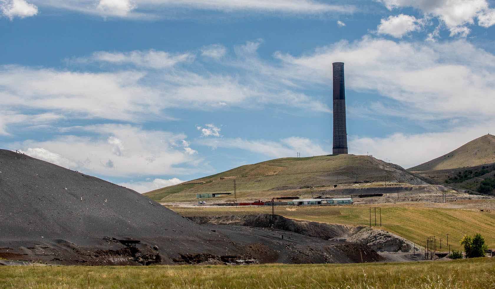
Anaconda Smoke Stack State Park
State Park
Anaconda, MT

Anaconda Visitor Center
Visitor Information Center
Anaconda, MT
Barclay II Supper Club and Lounge
Fine Dining
Anaconda, MT
Basin Gulch Trail #11
National Forest Trail
Philipsburg

Benny Goodman Skate Park
City Park
Anaconda

Big Sky RV Park
Private Campground
Anaconda, MT
