National Forest Trail
West Fork Stillwater Trail
About
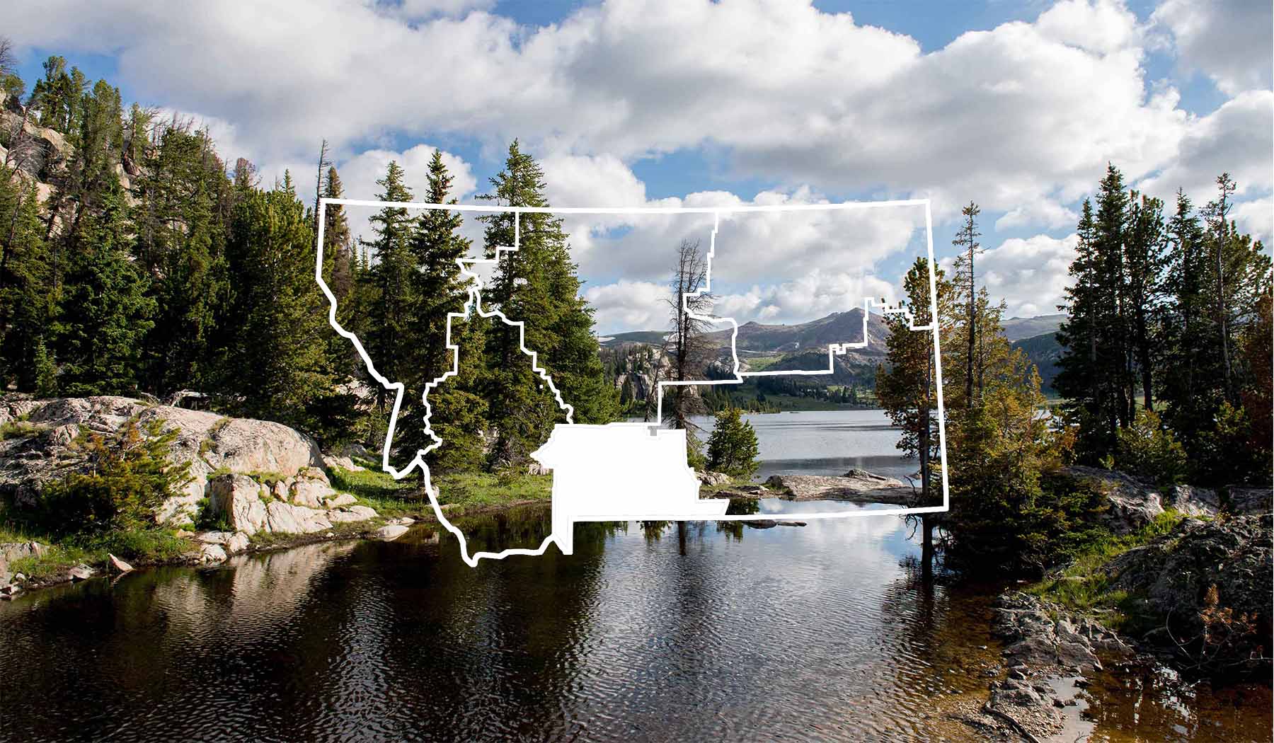
West Fork Stillwater Trail (90) is at the end of the West Fork Road, and provides easy access to Sentinel and Calamity Falls, where tumbling waters of the West Fork race through granite chutes of more than 100 feet. Further up the trail, still within 2-3 hours of the trailhead, is Quinnebaugh Meadows. Here, the West Fork lazily ambles through a lush, grassy valley under rugged granite peaks. Length: 29.0 miles Trail Begins: Forest Road 846 Trail Ends: Stillwater River Trail 24 Area Map: Custer National Forest (Beartooth Division) USGS Map1: Mount Wood, 15 minute USGS Map2: Mount Douglas, 15 minute Township 5S; Range 14E; Section 14
Contact
MAILING ADDRESS
6811 Highway 212 South
Red Lodge, MT 59068
Red Lodge, MT 59068
CONTACT
406-446-2103
FAX
406-446-3918
Details
SEASON
June - October
SERVICES
Trail
ACTIVITIES
Backcountry Camping
Big Game
Hiking
Horseback Riding
Lake Fishing
Picnicking
Sightseeing
Stream Fishing
Wildlife Viewing


