
Willow Creek Reservoir, Augusta
47°33'35.5"N 112°28'6.0"W
Showing 58 results for "River Junction"

Elk River Trail
National Forest Trail
Ennis
A short hike with connections for longer hikes or horse trips. Elk River Trail (79) wanders through fairly heavy timber for 1.5 miles before it intersects with the Little Elk River. The trail terminates at its junction with Lobo Mesa Trail 29, but hikers may proceed farther north or south on ...
Hellroaring Creek Trail
National Park Trail
Yellowstone National Park
Length: 6.7 miles Trail Begins: Hellroaring Trailhead Trail Ends: Yellowstone National Park's north boundary with Gallatin National Forest The Hellroaring Trail travels from the Mammoth-Tower Road to the park's north boundary and continues into the Gallatin National Forest. The trail follows ...

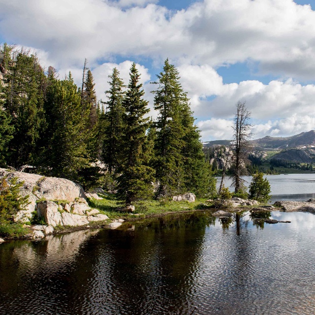
River Junction Fishing Access Site
Fishing Access Site
Missoula
River Junction is a state fishing access site along the Blackfoot River. Camping is permitted but facilities are limited to toilets. Boating may also be enjoyed on the river however the boat launch is for carry-in non-motorized watercraft only. Time limit of 7 days. 6 campsites are available at ...
Chub Creek Trail
National Forest Trail
Wise River
Trail Begins: Trail 131 Seymour Creek Trail Ends: Trail 124 Middle Fork LaMarche Creek There is a stock ramp, hitch rail and a toilet at the trailhead for Trail 131 at Seymour Creek. On the eastern half of Chub Creek Trail 132 is a good grazing meadow in Chub Creek and also where Trail 170 ...
Lake, Bridge Bay & Fishing Area
National Recreation Area
Yellowstone National Park
Yellowstone Lake with a surface area of 132 square miles, is the largest lake at high elevation (i.e., more than 7,000 ft.) in North America. It is a natural lake, situated at 7,733 ft. above sea level. It is roughly 20 miles long and 14 miles wide with 141 miles of shoreline. It is frozen nearly ...

Bob Marshall Wilderness Complex
Wilderness Area
Kalispell
The Bob Marshall Wilderness Complex is an administrated unit of the Flathead National Forest, the Lewis and Clark National Forest, Lolo National Forest and the Helena National Forest. The United States Congress designated the Bob Marshall Wilderness Area as part of the original Wilderness Act of ...

Stoney Indian Trail
National Park Trail
Glacier National Park
Stoney Indian Trail is a moderately difficult trail that allows for spectacular alpine views, beautiful waterfalls and scenic natural mountain gardens. This high mountain pass is exposed to wind and sudden weather changes. It is a travel corridor between the Waterton and Belly River Valleys and ...
Apgar Cross Country Ski Trails
National Park Trail
West Glacier, MT
The routes described in this area begin at two parking locations: 1. The concession horse barn ,reached by taking the first left off the Going-to-the-Sun Road, past the West Entrance station. 2. The road closure gate just beyond the McDonald Creek Bridge on the Camas Road. Lower McDonald Creek 2 ...
